


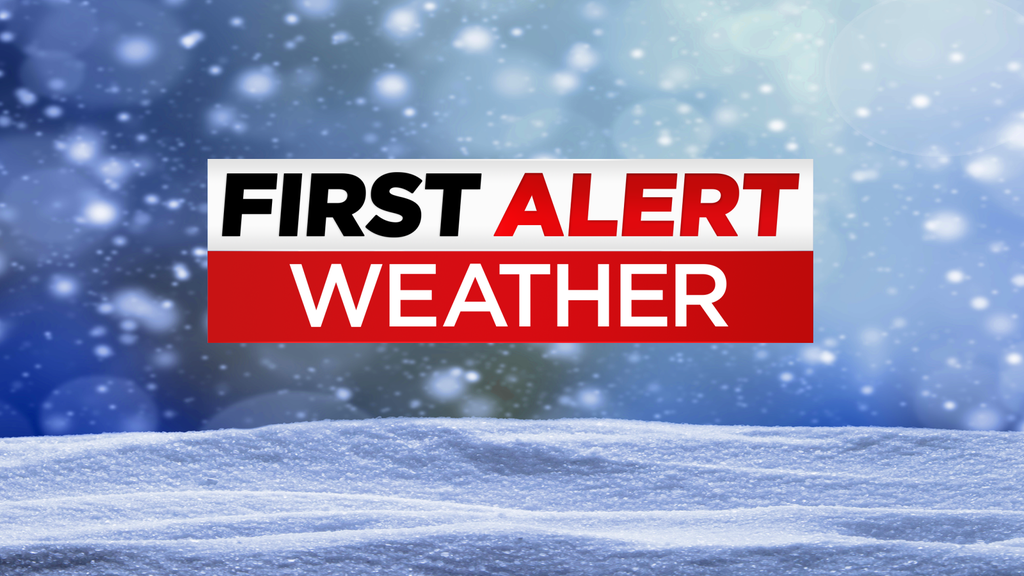
URGENT UPDATE: The Tri-State Area is bracing for light snow early Tuesday morning, with significant travel disruptions anticipated. CBS News New York reports that snowfall will begin between 3-4 a.m., impacting the morning commute as it moves from west to east.
Temperatures will start in the 20s on Monday but are expected to rise to the upper 30s by afternoon. While Monday remains mostly sunny, clouds will thicken overnight, paving the way for the approaching snow. Authorities have issued a First Alert Weather Day for Tuesday due to the potential for slick road conditions, particularly north and west of the city.
By midday Tuesday, the snow is forecasted to mix with rain, resulting in total accumulations of up to 1 inch on colder surfaces. As temperatures rise into the mid and upper 30s by afternoon, the precipitation will taper off.
The weather is expected to improve by Christmas Eve, which looks dry and seasonable with highs in the low to mid 40s. However, Christmas Day may bring mostly cloudy skies and a chance of scattered showers.
Travelers are urged to stay informed about road conditions and to plan accordingly as this winter weather system moves through the region. For live radar updates and official alerts, visit CBS News New York.
Stay safe and prepared as this weather system develops!