


UPDATE: A tornado warning has just been issued for coastal areas near San Luis Obispo, California, as severe thunderstorms threaten the region early this morning. The National Weather Service (NWS) confirmed that while tornado warnings expired around 12:45 a.m. local time, a Severe Thunderstorm Watch remains active until 6 a.m.
The Storm Prediction Center (SPC) warns that a line of low-topped convection is moving east-southeast, posing risks of strong winds, possibly reaching 70 mph. “A brief tornado or two may also occur,” the SPC alert states, underscoring the urgency of the situation.
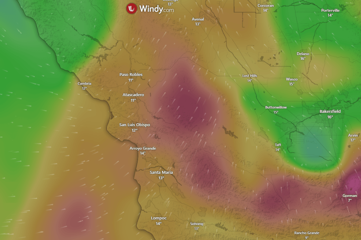
The severe thunderstorm watch area spans approximately 35 statute miles east and west of a line from 15 miles west northwest of Paso Robles, CA, to 20 miles southwest of Los Angeles, CA. Residents in these areas are urged to remain vigilant and prepare for rapidly changing weather conditions.
This severe weather event could have significant impacts on local communities, including power outages and property damage from high winds. Authorities recommend securing outdoor items and staying tuned to local news for updates.
As the situation develops, stay connected for the latest information on weather conditions and safety recommendations. This is a critical time for residents in and around San Luis Obispo to take precautions as the storm system moves through.
“Be prepared for unexpected weather changes and take protective measures seriously,” advised the NWS. “Stay indoors and avoid travel unless absolutely necessary.”
This article will continue to be updated as more information becomes available. Stay safe and informed.