


UPDATE: An arctic cold front is unleashing a frigid end to 2025 as Macomb County braces for light snowfall this New Year’s Eve. Just hours before midnight, the National Weather Service forecasts up to 2 inches of snow, creating hazardous driving conditions as celebrations kick off across the region.
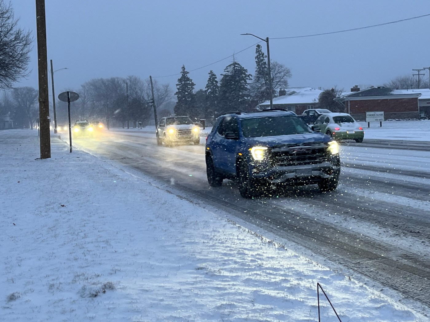
As snow begins to fall this evening, temperatures are expected to plummet to around 9 degrees, with dangerously low wind chills dipping to -2. Meteorologists warn that these conditions could lead to critical disruptions on the roads, urging drivers to use extreme caution.
Officials from the Michigan Department of Transportation report ongoing accidents on key highways, including Interstates 94 and 75, as well as M-10. Motorists are advised to “slow down” and remain vigilant. In a statement, Michigan State Police emphasized the importance of maintaining a safe following distance: “Increase your following distance so you can stop without slamming on the brakes. Don’t drive distracted or impaired.”
Weather forecasts predict that the heaviest snowfall will occur before 8 p.m., coinciding with peak travel times as revelers head out for festivities. The combination of slippery roads and gusty winds, reaching up to 28 mph, poses significant risks.
The National Weather Service projects mostly sunny conditions for New Year’s Day, with a high around 22 degrees but warns of potential flurries after 4 p.m.. Wind chill values could remain as low as -3, adding to the chill in the air.
Tonight’s weather is a stark reminder for all residents and travelers in the area: safety comes first. With celebrations underway, authorities encourage everyone to stay alert, report any suspicious activity, and prioritize caution on the roads.
As the clock ticks down to midnight, let’s welcome 2026 with safety in mind. Stay warm, stay safe, and enjoy the New Year’s festivities responsibly.