







































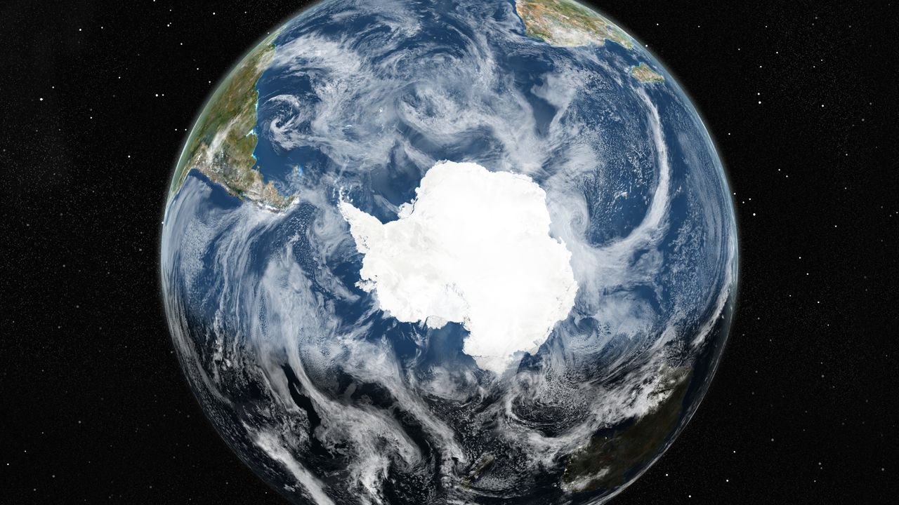
Recent advancements in satellite technology have enabled researchers to create the most detailed map of Antarctica’s subglacial topography to date. Led by Helen Ockenden from the University of Edinburgh and the Institut des Geosciences de l’Environnement in France, the team utilized a modeling technique known as Ice Flow Perturbation Analysis (IFPA) to infer the hidden features located beneath the continent’s thick ice cover.
Antarctica’s surface has been relatively well-studied, yet the subglacial landscape, which lies up to 4.8 kilometers beneath the ice, remains largely uncharted. Traditional mapping methods, involving costly ground-based and airborne surveys, have been limited in scope and frequency. The new mapping technique leverages detailed satellite observations of the ice surface, combined with the physics of ice flow, to reveal the underlying topography.
According to the research published in the journal Science on January 15, 2024, the map produced by Ockenden and her team unveils a wealth of previously unknown geological features. These include steep-sided channels potentially linked to ancient mountain drainage systems, alongside deep valleys reminiscent of U-shaped glacial formations found elsewhere on Earth. Such insights may provide valuable information regarding Antarctica’s geological history, particularly its state prior to glaciation.
Understanding the subglacial landscape is critical for predicting how Antarctic ice might influence global sea-level rise. As the researchers note, the enhanced mapping capabilities offered by IFPA allow for greater insight into ice movement across the continent. This, in turn, facilitates more accurate projections about future changes in sea levels.
Despite the impressive detail achieved in this mapping endeavor, the researchers acknowledge that there remains potential for further refinement. The current reconstruction resolves features at the mesoscale, specifically between 2 to 30 kilometers, leaving smaller landforms yet to be explored in depth.
Future Surveys and Collaborations
The findings from this study serve not only as a significant step forward in subglacial mapping but also as a guide for future research. Ockenden and her team emphasize the importance of their landscape classification and topographic map in directing focused studies of Antarctica’s subglacial landscape. They suggest that these insights could inform the planning of detailed geophysical surveys, which will be necessary to capture finer details required for ice flow modeling.
The upcoming International Polar Year 2031-2033 presents an ideal opportunity for collaborative efforts among the global scientific community. As Duncan Young from the University of Texas Institute for Geophysics notes in a “Perspective” piece accompanying the study, integrating expansive observational and modeling approaches will enhance understanding of ice sheet and bedrock properties.
This groundbreaking research not only enhances our understanding of Antarctica’s hidden features but also paves the way for future studies that may reveal even more about the continent’s complex geological and glaciological history. As scientists continue to refine their techniques and methodologies, the potential to uncover further secrets beneath the ice remains vast and exciting.