


A recent image captured by the U.S. National Oceanic and Atmospheric Administration’s (NOAA) weather satellite, GOES-19, has revealed an unexpected sight: Earth appearing alongside the sun. This stunning photograph, taken on October 23, 2025, shows our planet silhouetted against the solar corona, demonstrating the satellite’s impressive observational capabilities.
What is GOES-19?
GOES-19 is the latest addition to NOAA’s Geostationary Operational Environmental Satellite series. Launched in March 2024, it became operational in early 2025. Positioned approximately 22,000 miles (36,000 kilometers) above Earth’s equator, the satellite is in geostationary orbit. This unique position allows it to continuously monitor weather patterns and the dynamic space environment above our planet.
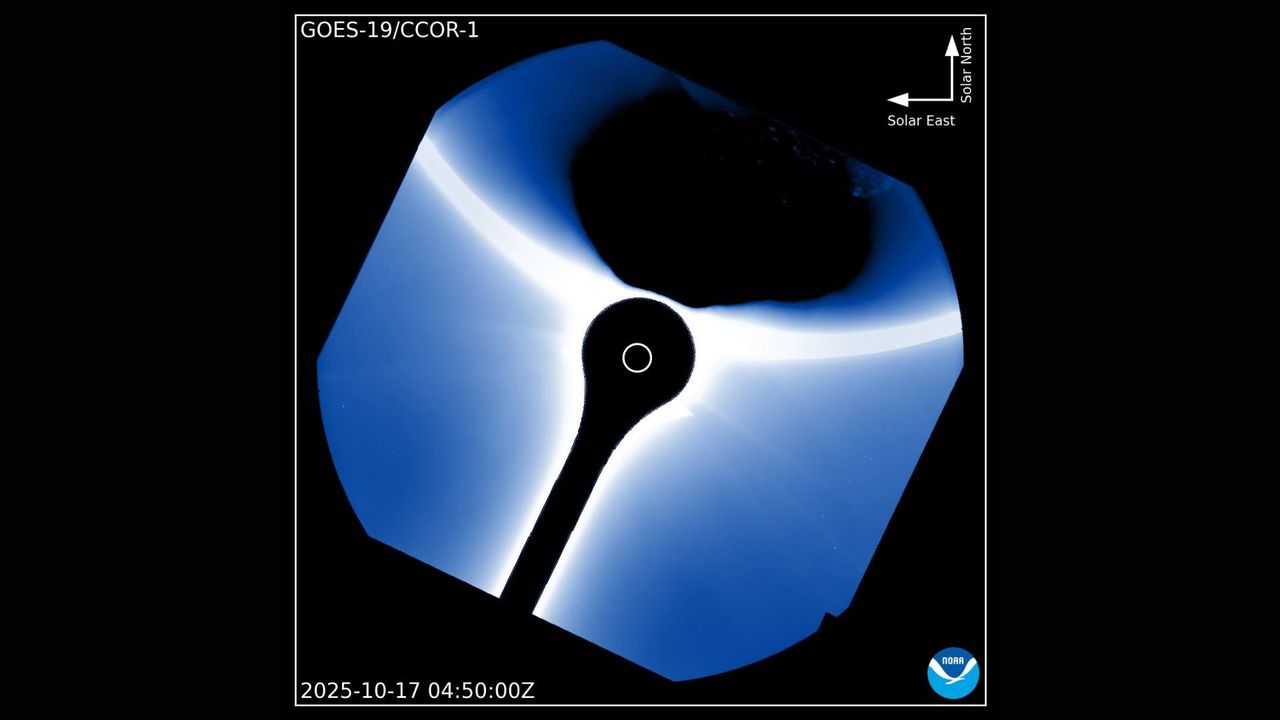
The image shared by NOAA’s Space Weather Prediction Center on X illustrates how GOES-19’s CCOR-1 (Compact Coronagraph 1) can capture detailed images of the sun’s outer atmosphere. The coronagraph is designed to monitor the solar corona, which, although typically invisible to the naked eye, emits a faint glow and extends millions of miles into space.
Understanding the Significance
The appearance of Earth in the image is noteworthy for several reasons. While it may seem like a mere coincidence, it serves as a valuable calibration test for CCOR-1. This event allows scientists to assess how well the instrument manages stray light and reflections, as well as the brightness contrast between different celestial objects.
The solar corona is crucial for understanding various solar phenomena, including coronal mass ejections (CMEs). These massive bursts of plasma and magnetic fields can disrupt satellites, power grids, and communication networks on Earth. Capturing such a detailed view of the solar corona, even with a bright object like Earth present, demonstrates the effectiveness of the CCOR-1 instrument.
In essence, while Earth’s appearance in the image may resemble a light-hearted “photobomb,” it offers significant insights into solar observation techniques and the capabilities of modern satellite technology. The successful capture of this image not only showcases GOES-19’s advanced technology but also highlights the ongoing efforts by NOAA to enhance our understanding of space weather and its potential impacts on Earth.
For those interested in learning more, further information about coronagraphs and NOAA’s weather satellites is available on their official platforms.