


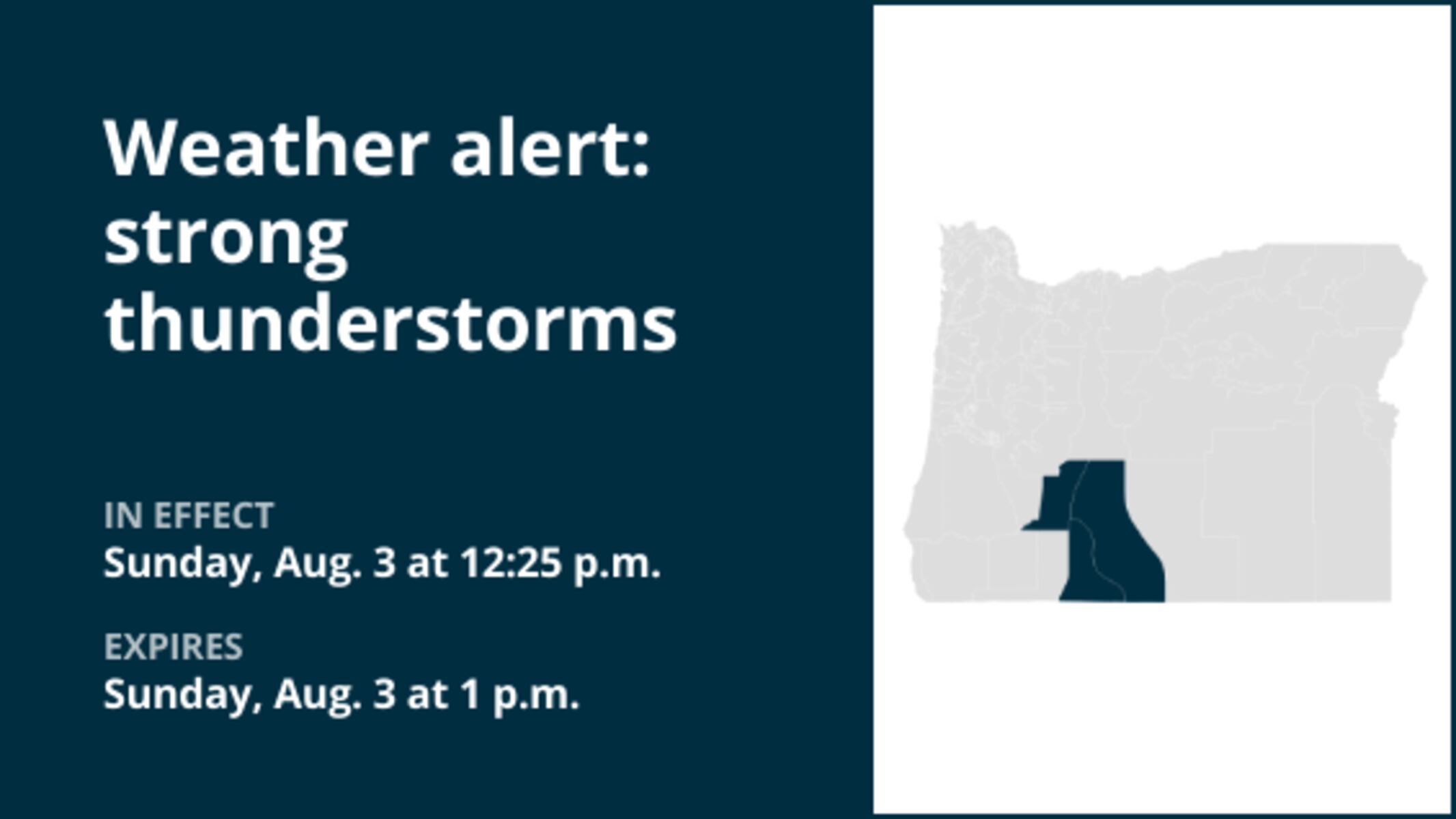
UPDATE: Severe thunderstorms are striking Oregon right now, bringing with them marble-sized hail and wind gusts reaching up to 50 mph. The National Weather Service has issued an urgent warning for affected areas, including the South Central Oregon Cascades, Klamath Basin, and parts of Northern and Eastern Klamath County, as well as Western Lake County.
At 12:25 p.m. today, the National Weather Service confirmed that these severe thunderstorms will continue until 1 p.m., potentially causing hazardous conditions. Officials urge residents to take immediate precautions, as the severe weather could lead to dangerous situations.
With wind gusts expected to reach 50 mph, loose objects may become projectiles, increasing the risk of injuries and property damage. Furthermore, the presence of marble-sized hail (approximately 0.5 inches) can cause significant harm to vehicles and crops, heightening concerns among local farmers and residents alike.
Residents are advised to stay indoors, avoid driving if possible, and secure outdoor items that may be blown away by strong winds. Authorities are closely monitoring the situation and will provide updates as conditions develop.
The impact of these storms is already being felt, with reports of localized flooding and power outages in some areas. Emergency services are on standby to respond to any incidents that may arise as the thunderstorms progress.
As the storms continue to move through the region, stay tuned for updates on this developing situation. For the latest information, follow the National Weather Service and local news outlets.
Next Steps: Keep an eye on weather alerts and prepare for possible evacuation orders if conditions worsen. Stay safe and prioritize your safety and that of your loved ones during this severe weather event.
This is a rapidly evolving situation, and we will keep you updated as more information becomes available.